
Beacon Schneider Review What Businesses Need To Know Before Choosing This Platform

Government agencies and public sector organizations handle vast amounts of land, tax, and geographic data. Managing this information efficiently while ensuring public access is a major challenge. Traditional systems are often fragmented, difficult to access, and not user friendly for citizens or businesses.
This is where Beacon Schneider becomes relevant.
Beacon Schneider is designed to make public records and geographic data easily accessible through a centralized online platform. It helps governments provide transparency while improving internal efficiency.
The platform is built primarily for counties, municipalities, GIS departments, and public sector organizations. It also serves businesses, real estate professionals, and citizens who need access to property and land related data.
What Is Beacon Schneider
Schneider Geospatial offers Beacon as a GovTech solution that provides public access to geographic and property related data.
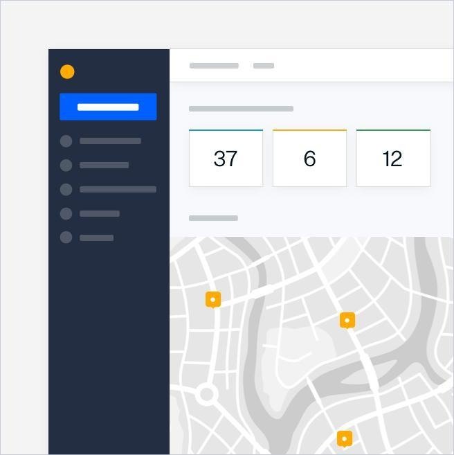
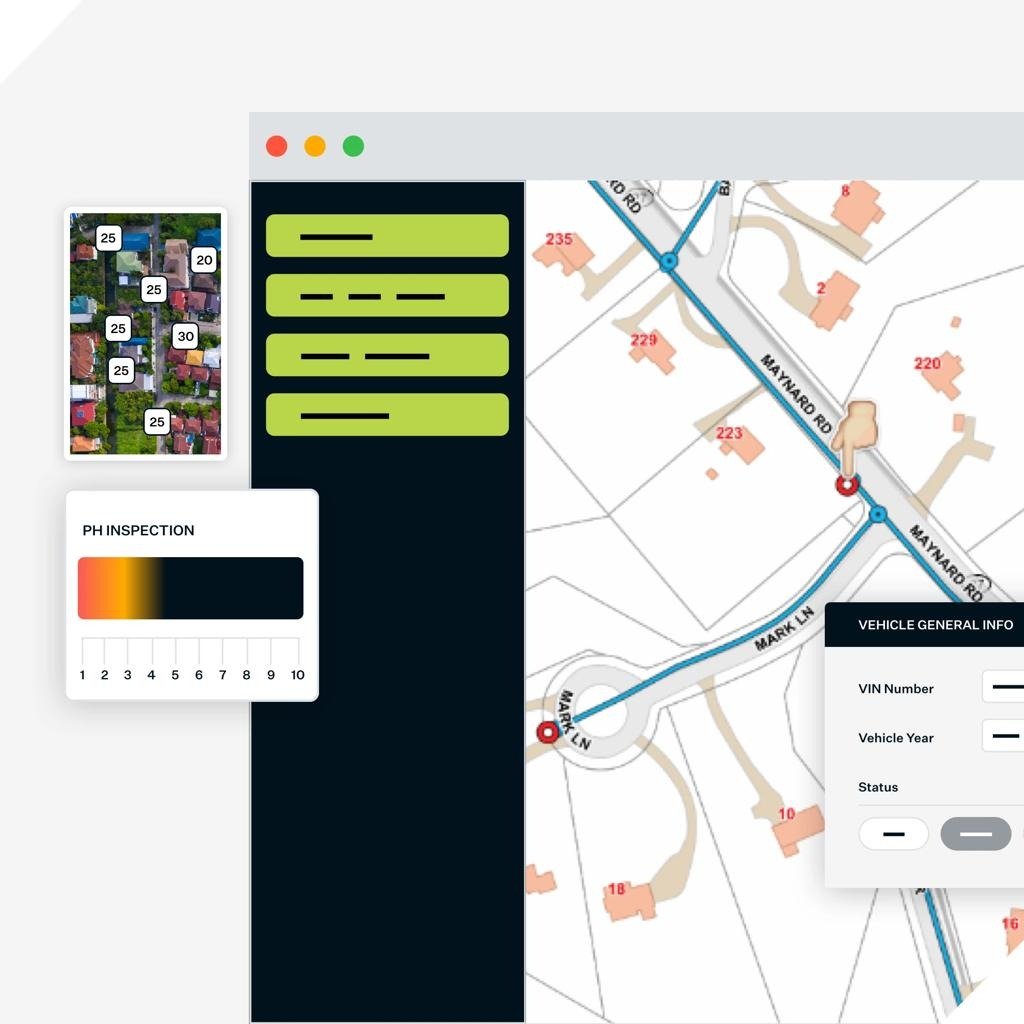
Beacon is an interactive online platform that allows users to view county and city information, public records, and Geographic Information Systems through a single portal.
The platform combines mapping tools with data reporting systems such as property assessment and tax information. This creates a unified system where users can explore land parcels, ownership records, zoning data, and more.
In the broader SaaS landscape, Beacon sits within GovTech and GIS software. Unlike typical business SaaS tools, it is designed for public sector data transparency and infrastructure management.
How Beacon Schneider Works
Beacon operates as a web based GIS and data access platform.
First, a government agency deploys the system and integrates it with its internal databases. These may include property tax records, land ownership data, and geographic datasets.
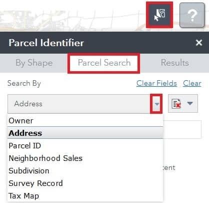
Next, users access the platform through a web portal. They can search for information using filters such as address, parcel number, or owner name.
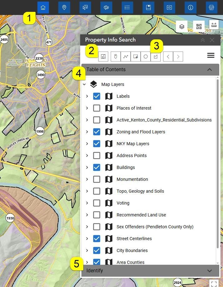
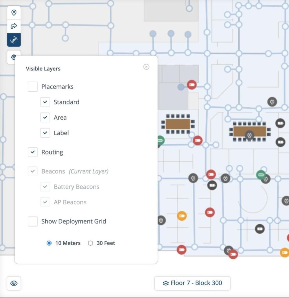
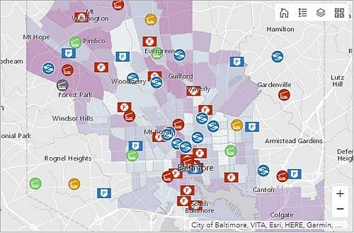
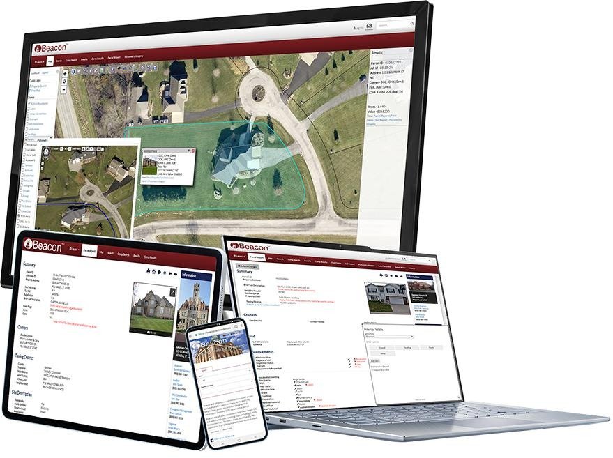
Once a search is performed, Beacon displays results on an interactive map. Users can zoom, select layers, and explore detailed geographic data.
Each parcel or data point can be clicked to reveal additional information. This may include ownership details, tax records, zoning classifications, and other attributes.
The platform also allows users to generate reports, print maps, or export data for further analysis.
This workflow ensures both internal teams and external users can access accurate and up to date information quickly.
Core Features Overview

Interactive GIS Mapping
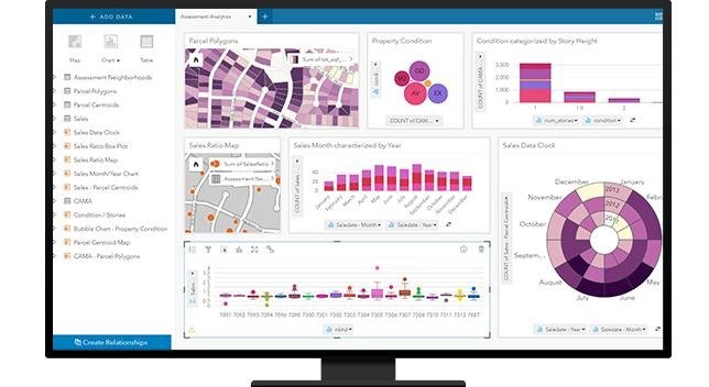
Beacon provides detailed map visualization with multiple layers. Users can explore zoning, infrastructure, environmental data, and more.
Property And Parcel Search
The platform enables advanced property searches using multiple criteria. This is essential for real estate professionals and government staff.
Public Records Access
Beacon centralizes access to public records such as ownership data and tax information. This improves transparency and accessibility.
Reporting And Data Export
Users can generate reports and export data. This supports decision making and operational workflows.
Key Benefits For Users

Beacon Schneider delivers strong value in public sector environments.
It improves transparency by making data accessible to citizens and businesses. This builds trust and reduces information barriers.
Operational efficiency increases as agencies reduce manual requests and in office visits. Digital access streamlines workflows and saves time.
Decision making becomes more data driven. With detailed geographic insights, planners and officials can make informed choices.
The platform also supports community engagement by allowing users to explore data independently.
Who Should Use This Software


Beacon Schneider is best suited for public sector and data intensive environments.
Local governments and municipalities use it to provide public access to data.
GIS departments rely on it for mapping and spatial analysis.
Real estate professionals use it to research property details and ownership records.
Citizens and businesses access the platform to gather information for planning and investment decisions.
Use Cases And Real World Scenarios
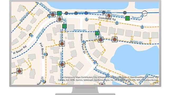
A real estate investor uses Beacon to evaluate properties before purchase. They review ownership history, zoning data, and tax information.
A city planner analyzes zoning layers to plan new developments. The platform helps visualize how changes impact the community.
A citizen accesses the portal to check property taxes and ownership details without visiting a government office.
Infrastructure teams use the platform to map utilities, roads, and environmental data for planning projects.
User Experience And Interface
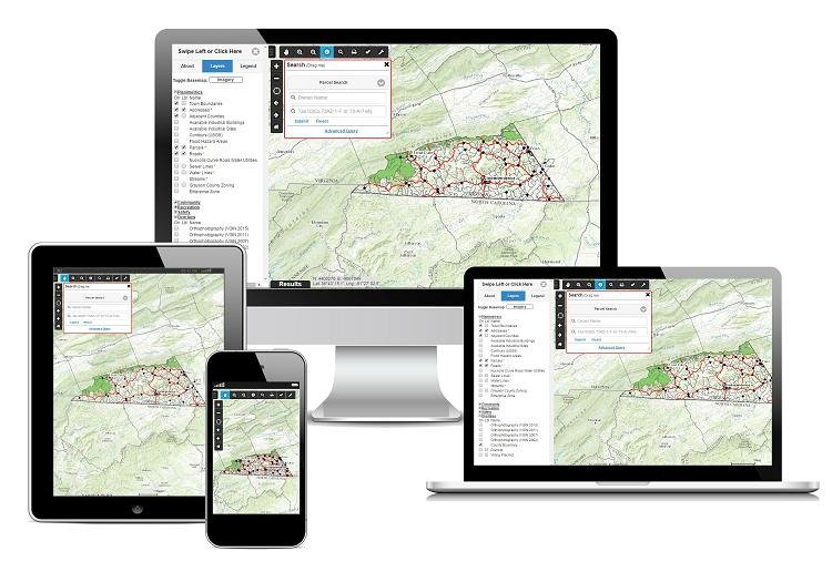
Beacon offers a functional and practical interface designed for data exploration.
The platform is accessible through web browsers and works across devices.
The interface is map centric, which may require some familiarity for new users. However, built in tools such as zoom, layer selection, and identify functions help users navigate effectively.
While not as modern as some commercial SaaS tools, it prioritizes functionality and reliability over visual design.
Pricing And Plans Overview
Beacon Schneider does not publicly list detailed pricing.
The platform is typically sold through government contracts or enterprise agreements. Pricing depends on factors such as jurisdiction size, data complexity, and required features.
For decision makers, value is measured in efficiency gains, reduced manual workload, and improved public service delivery.
Pros And Cons
Pros
Centralized access to public records and GIS data
Strong mapping and spatial analysis capabilities
Improves transparency and citizen engagement
Reduces manual processes for government agencies
Supports multiple industries including real estate and planning
Cons
Primarily designed for public sector use
Interface may require learning for non GIS users
Limited relevance for typical private sector SaaS use cases
Comparison With Similar Tools
Beacon Schneider operates in a specialized GovTech space.
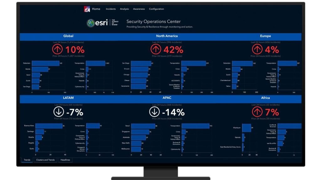
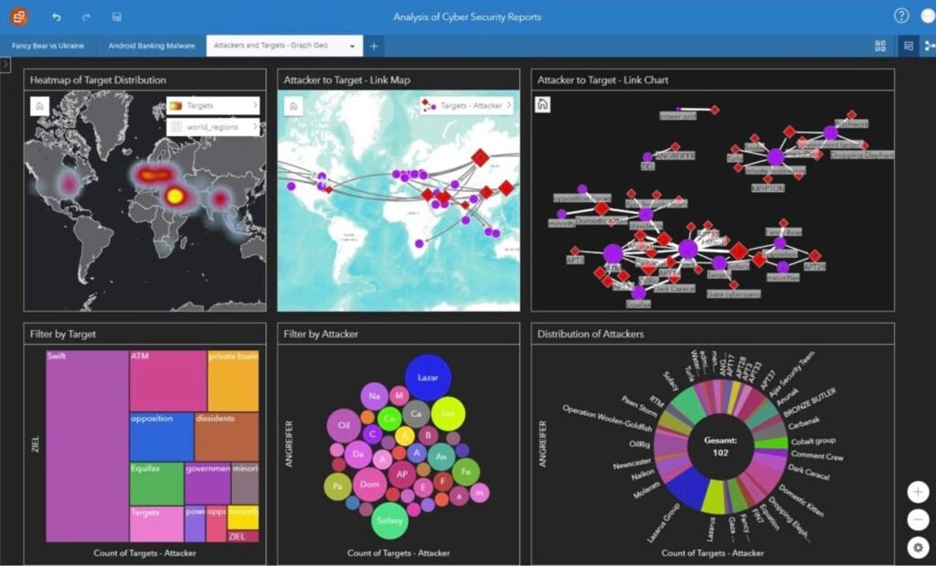
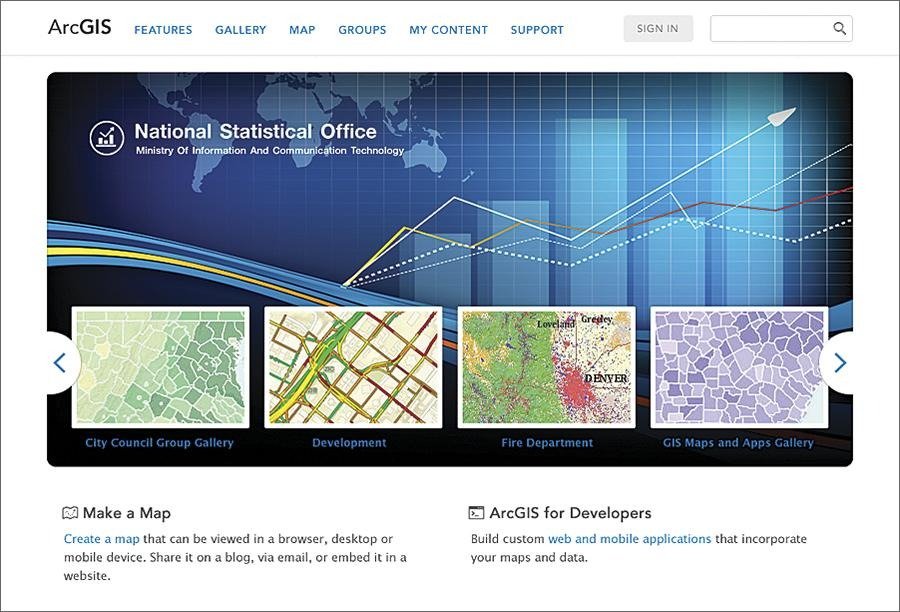
Esri ArcGIS is a leading GIS platform with advanced analytics and mapping capabilities. It is more powerful but also more complex and resource intensive.
QGIS offers a free alternative with strong GIS functionality. However, it requires more technical expertise and lacks centralized public portals.
Beacon differentiates itself by focusing on accessibility and public data sharing. It is less about deep analytics and more about delivering usable information to a broad audience.
Buying Considerations For Decision Makers


Decision makers should evaluate Beacon based on several factors.
Budget is influenced by government procurement processes and long term contracts.
Integration is critical. The platform must connect with existing tax, assessment, and GIS systems.
Adoption depends on training and user familiarity with GIS tools.
Scalability ensures the system can handle growing datasets and user demand.
Security Privacy And Compliance
Security is essential for government data platforms.
Beacon is expected to follow standard practices such as secure data access and controlled permissions.
Since it handles public records, compliance with local regulations is critical.
Agencies must ensure that sensitive data is protected while maintaining transparency.
Support And Documentation
Beacon Schneider provides documentation and support resources to help users navigate the platform.
Training may be provided for government staff during implementation.
Help systems and guides assist users in understanding features such as map layers and search tools.
Support quality often depends on the service agreement with Schneider Geospatial.
Frequently Asked Questions
What Is Beacon Schneider Used For
It is used to provide public access to GIS data, property records, and government information.
Is Beacon Schneider A SaaS Platform
Yes, it operates as a web based GovTech solution.
Who Uses Beacon Schneider
Primarily government agencies, GIS departments, and real estate professionals.
Can The Public Access Beacon
Yes, many counties provide open access to their Beacon portals.
Does Beacon Replace GIS Software
No, it complements GIS systems by providing public access and simplified data visualization.
Final Verdict
Beacon Schneider is a specialized platform designed for public sector data access and GIS mapping.
It is an excellent choice for governments and agencies that need to provide transparent and efficient access to property and geographic data.
However, it is not intended for typical business automation or marketing use cases.
Organizations outside the public sector may find limited relevance, while municipalities and GIS driven teams will benefit significantly